Interactive festival map with a back office
Open Viertel
- For
- Bahnhofsviertel night festival, Frankfurt
- Role
- Concept, build, data maintenance
- Period
- Summer 2026, festival on 5 September 2026
- Status
- In use at the festival on 5 September 2026
Where it started.
The Bahnhofsviertelnacht brings stages, shops, studios and social projects together for one evening. Until then the programme came as a folded leaflet and a PDF: hard to read, hard to keep current and of little help on the street when visitors want to know what is happening round the corner.
What was built.
-
A programme as a map, not a list
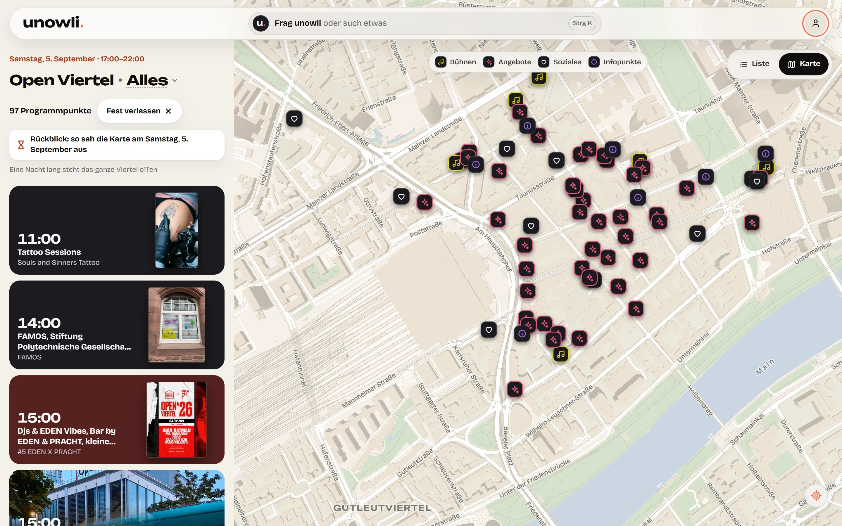
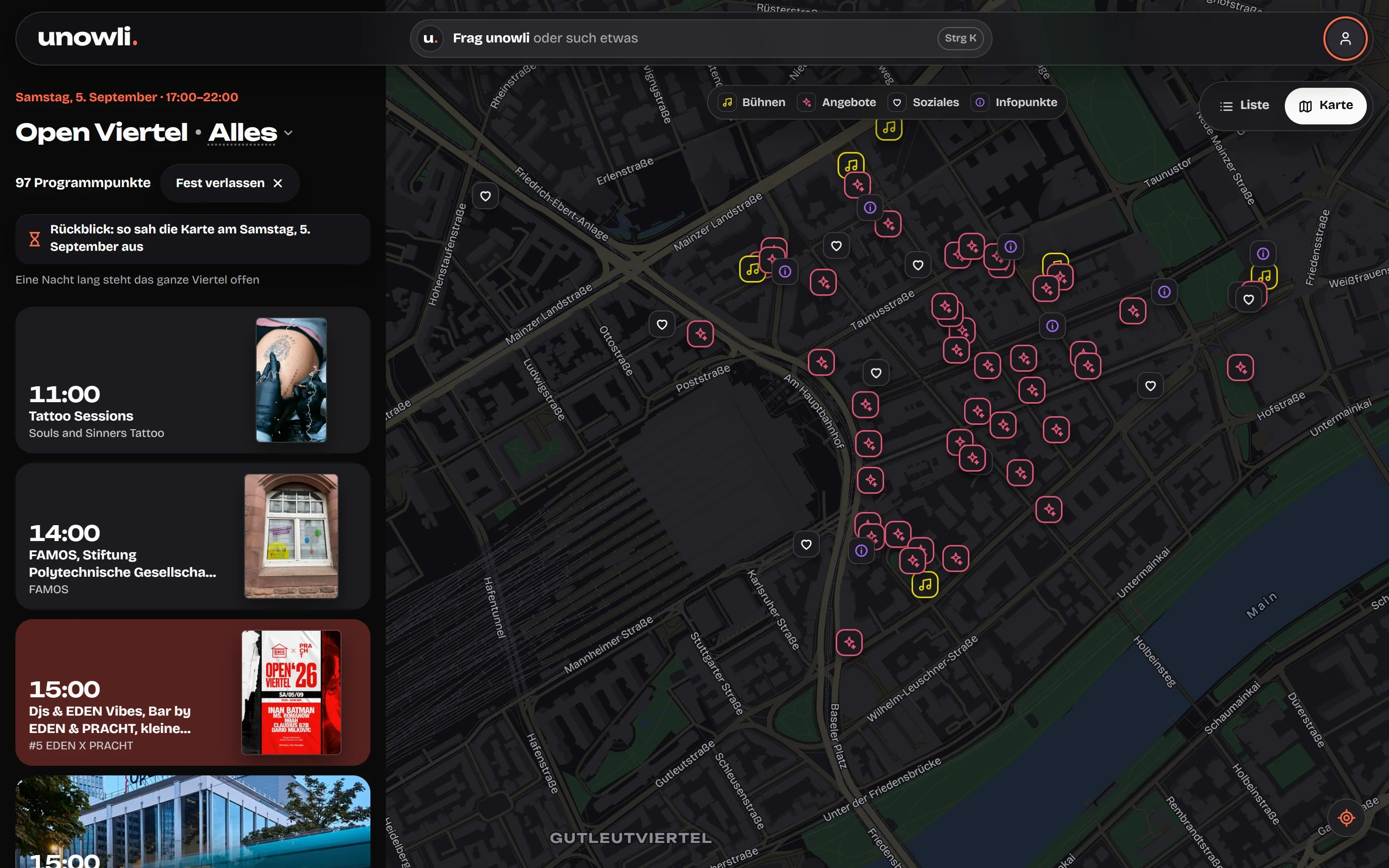
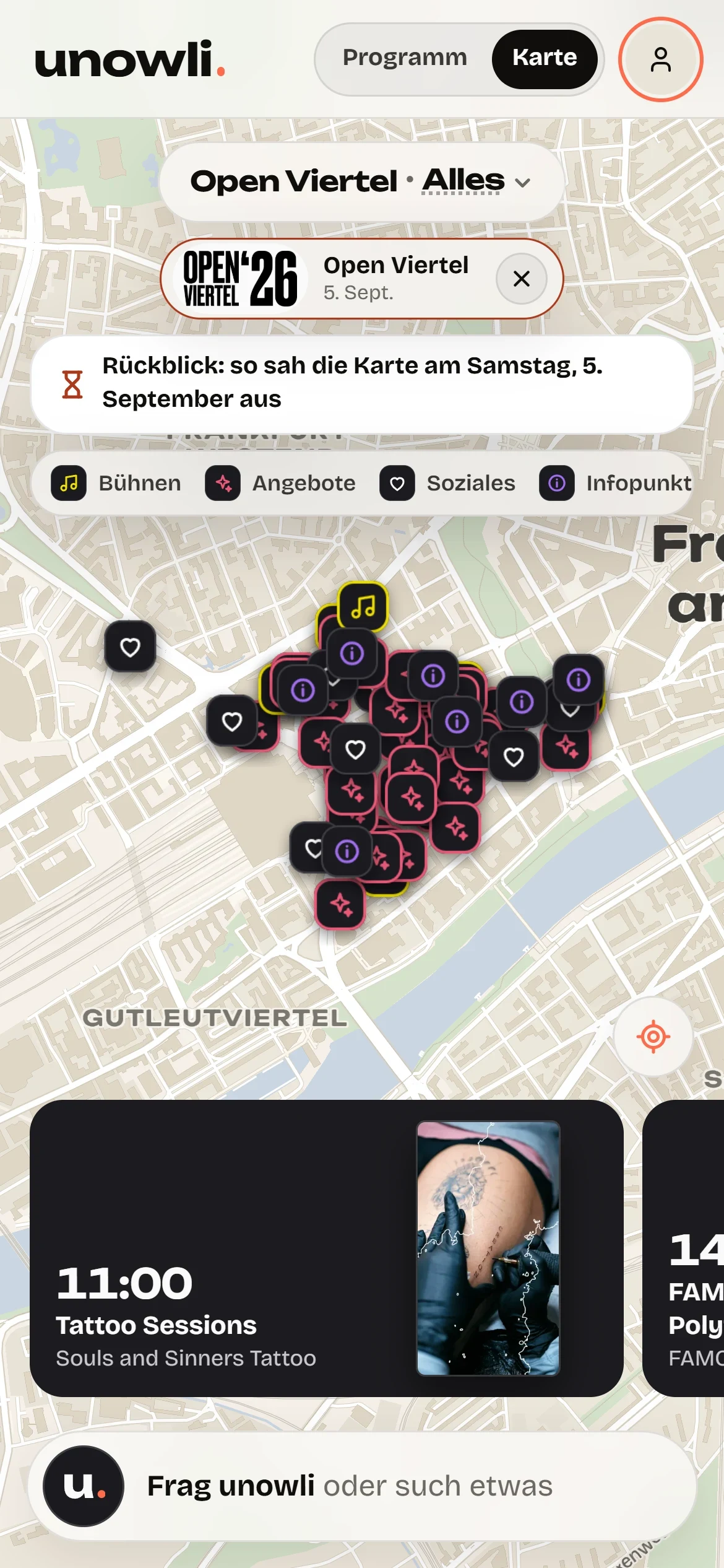
Every programme point sits at its real address. Opening the map shows at once what is happening within walking distance, filtered by four categories: stages, venues with their own programme, social projects and info points.
-
Enter once, up to date everywhere
Behind the map there is a back office. Each programme point is maintained there once and appears straight away on the map, in the list and on the phone. If a time changes on the day, one entry is enough and every visitor sees the new state.
-
No work for the organisers
The data maintenance was my job. The organisers delivered their programme; map, technology and changes were taken care of. Flyers, posters and stands led straight into the map by QR code, without an app or a login.
What came of it.
- 97 points at 63 places, all on the map
- 4,956 views before the festival and 6,103 on the day
- 23,650 programme points tapped
- One entry in the back office, up to date everywhere at once, no extra work for the organisers
What is in it.
Services
- Festival map
- Back office and data model
- Data maintenance
- QR entry
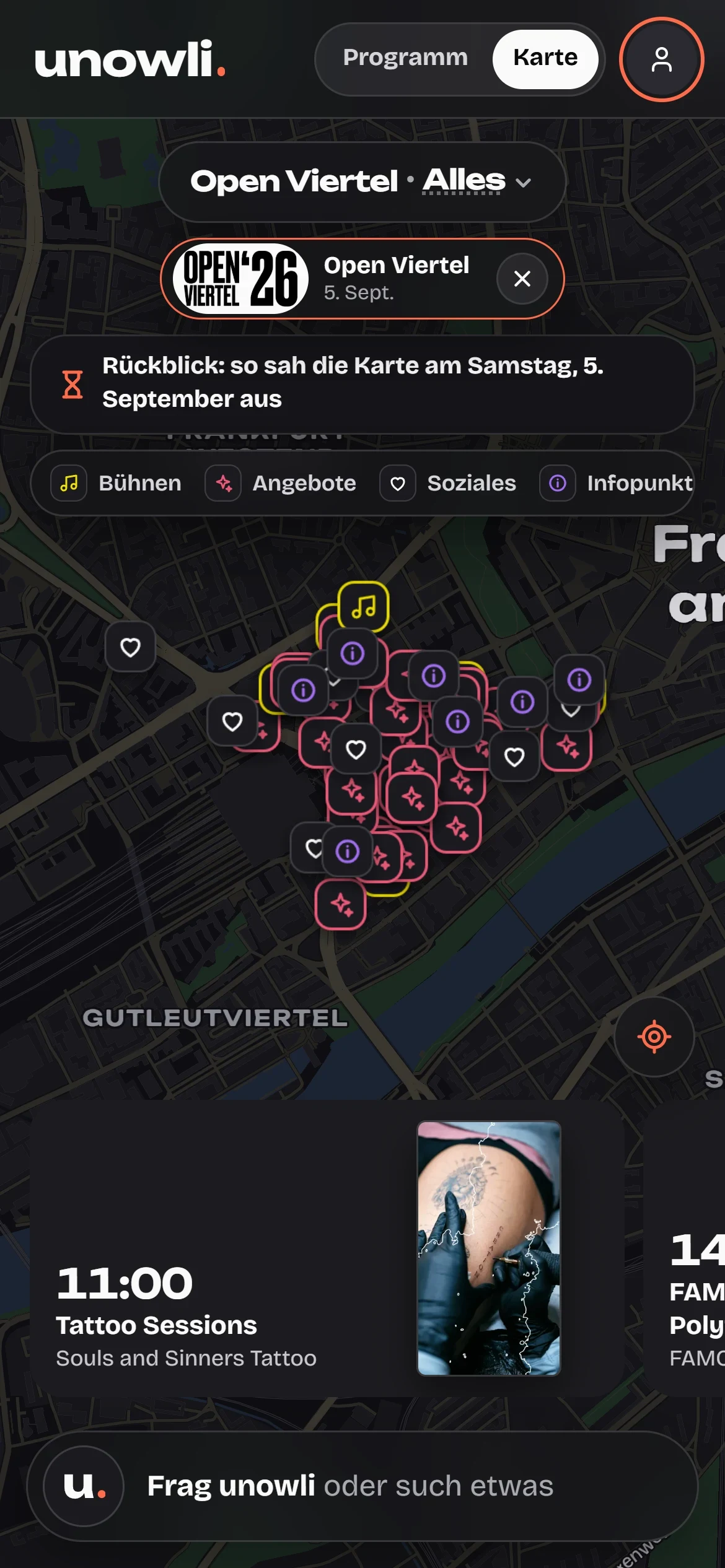
- Mobile use on site
Technology
- Interactive map
- Category filter
- Responsive web app
- No app installation
Planning something similar?
Discuss a project